Mapping the Earth and its societies has been the purpose of scientists for centuries. Initially, it was done through the exploration of the land and sea. People like Marco Polo, Amerigo Vespucci, and Ferdinand Magellan changed the way the general populace saw the world. It also provided an impetus to expand into unknown regions.
With the advancement in technology came different ways to analyze Earth. On top of satellites and space-based experiments, geospatial technologies are greatly utilized. For more information, here are 4 types of geospatial technologies and how they work.
What Are They?
Geospatial technologies are part of investing in space that doesn’t involve manned flight. Organizations like Space Capital utilize these products from what was already learned through older instruments. The arts of photographic interpretation and map-making have been accelerated. Today, geospatial technologies incorporate satellites, computers, and Big Data to provide a comprehensive look at Earth.
What It’s Used For?
Previously, this form of analysis was used by explorers and governments. The results determined the next courses of action for these expanding kingdoms. Today, geospatial technology is used for a diverse audience.
Universities, corporations, and other non-governmental organizations deploy these technologies to inform their respective decision-makers. They help determine ideas and movement behind industries, biodiversity, conservation, and humanitarian relief. Geospatial tools also help estimate what’s required for forest fire suppression and drought reduction.
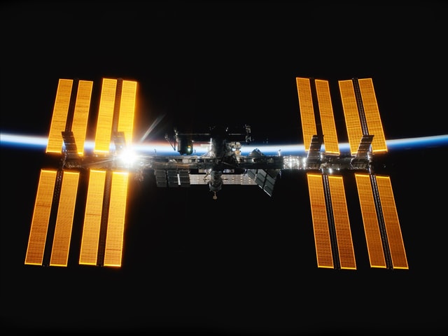
1. Global Positioning System
The Global Positioning System (GPS) is the technology most familiar to the public. We have a form of this built into our vehicles or through our mobile devices. The GPS provides accurate directions from one location to another.
However, this geospatial technology didn’t start at the consumer level. It comprises a network of U.S. Department of Defense satellites. Together, they initially offered precise coordinates for military purposes. It wasn’t until the 1980s that the public was allowed to utilize the service. It didn’t become popular until the start of the 21st century.
2. Geographic Information Systems
A geographic information system (GIS) is comprised of computer applications that map and analyze data. The specific areas referenced on Earth’s surface are part of more comprehensive geospatial data. Though it seems to relay unrelated analyses of various regions, a GIS creates material that shows how conditions in one area directly affect another.
Over the last decades, the tool has been used to determine clusters of toxin-connected disease, sub-optimal water access, and deforestation. Cartographic software and data could be incorporated to display this information through maps and charts.
3. Remote Sensing
Remote sensing comes from the imagery and data collected through satellite photography and sensor platforms attached to aircraft. It acquires information without physical contact with an object like land or water. The result is statistics on various natural and human occurrences.
These sensors are either passive or active. The former respond to natural stimuli like energy reflected from the Earth’s surface. Conversely, active sensors collect data about the planet through tasks built into its programming. As an example, a sensor measures the time it takes a laser aimed at Earth’s surface to reflect on the sensor mechanism.
4. Internet Mapping Technologies
Internet mapping technologies are similar to GPS. Once used exclusively by scientists and the military, this is now available for public consumption. There are several applications on the internet that allow you to view geospatial data. In other words, there’s no longer a need to understand complex computer programs to view the material.
The benefit of internet mapping technologies is they go beyond simple cartography. Users have the power to view not only a street but a 360-degree view of the homes and restaurants in the area. These images are continually updated through satellite imagery as well as via aircraft and land vehicles.
Needless to say, a lot has changed since Ferdinand Magellan mapped a Pacific Ocean path to the East Indies. With the inception of geospatial technologies, everyone has an opportunity to see Earth in a different light. Be it from space, through sensors, or while driving to a certain location.
Furthermore, the data compiled by these geospatial technologies has made us closer. We can see the beauty of Earth along with its many problems. In the end, it gives us time to pause and figure out how to make the planet a better place to live.