How do I know if laser scanning is useful for my project?
The laser scanner is very useful in almost all types of building, heritage, topography or rehabilitation projects. However, we are going to detail some points in order to clarify how it works and how it can help you in your current and future projects.
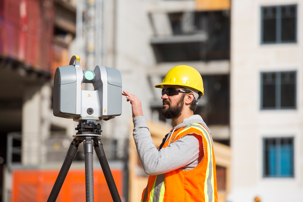
IF you are in this world of construction and rehabilitation, you will probably be familiar with the tedious, and not always reliable, measurement tasks … from traditional tapes, measuring wheels or laser tapes.
Apart from spending time, mainly, we have the disadvantage that measurements and the subsequent realization of plans are sometimes not a true reflection of reality, so it often requires repeating the initial data collection processes or even more. time to try to correct errors.
Technology, as in almost all areas of our life, evolves. Here we leave you a real example of the scan of a palace.
And although it is sometimes difficult for us to adapt to changes, in most cases, it is for the better.
With the appearance of the 3D laser scanner, it is achieved:
– Simplify, in a timely manner, the need to take measurements by hand
– Reduce the possibility of error: human or difficulty
– Accelerate the obtaining of the data obtained
– Obtain a reliable and precise model with a millimeter margin of error
– Cover, in the same time and with the same resources, a greater amount of data
– Start the adaptation to the BIM methodology
Besides the benefits, it is also useful to learn how to use these resources as marketing strategies for your business.
What kinds of projects are susceptible to 3D laser scanning?
Almost all projects are capable of using the 3D terrestrial laser scanner. Although it is true that, in certain projects, either due to its simplicity in measurement or those that require infinite changes in scanner position, (for example, scanning a forest) may not be the best option.
IF you work with as-built projects of topographic or engineering surveys, the 3D laser scanner is without a doubt your option.
Some of the main applications of 3D Laser Scanning
- Heritage Documentation and Monitoring Projects (architectural, archaeological, works of art …).
- Study of natural risks.
- Topographic surveys – Studies of gullies.
- Mining and underground surveys.
- Soil erosion
- Communication routes (roads, slopes, structures …).
- Viaducts and factory work.
- Architecture and building.
- Electrical substations.
- Industrial plants.
- Facilities (Automotive, Aeronautics …).
The 3D laser scanner allows you to work on:
- very diverse environments
- adverse weather conditions
- total absence of light
It uses tachymetric measurements, which consist of the combination of the measurement of distances and angles. The scanner sweeps your entire visual field, varying the direction of the laser beam to be able to scan the different points of the object to be measured. The rotation of the device itself and the changes of positions of the scanner, allow obtaining a complete cloud of data reliably and quickly.
The basic principle of operation consists of the projection of an optical signal on a certain object, and the corresponding processing of the reflected signal to determine the distance at which it is located. For each reflected signal, two corresponding angles are obtained, the distance and the intensity.